
Trail Map
Every trail on DCR's Borderland map
The official Borderland State Park trail map is DCR's free 2019 PDF, which you can download from mass.gov. It shows every named trail, the carriage roads around the ponds, the Bay Circuit Trail, the parking lots and the visitor center, and lists a length for each trail. DCR's park page says Borderland has more than 20 miles of trails; DCR's 2017 management plan, which only counts official trails, measured 12.77 miles. Both are DCR numbers. Download the map before you go; DCR warns that some trails are not well marked.
Trails at a Glance
Every Named Trail, With DCR's Length
These lengths come from the Trail Descriptions panel on DCR's map. They are for each trail by itself, so a real walk usually strings several together on the carriage roads. DCR also prints a walking time for each; its suggested-hikes sheet puts the average hiker's pace at about 1.5 miles an hour.
- Bob's Trail, .7 mi: connects the Bay Road entrance to the farmhouse fields; DCR calls it ideal for mountain biking for its twists and rocky ridges.
- Boulder Trail, .25 mi: passes the Ames Boulder, an enormous glacial erratic.
- French Trail, .33 mi: connects the Northwest Trail to the West Side Trail.
- Friends Trail, .9 mi: connects the east end of the Ridge Trail to the Morse Trail; relatively easy walking.
- Granite Hills Trail (Upper Loop), .75 mi: the upper half of a double loop on rocky terrain; DCR lists granite outcroppings, glacial erratics and low-lying swamp areas along the two loops.
- Granite Hills Trail (Lower Loop), 1 mi: the lower half; DCR gives about 1¾ hours for both loops.
- Morse Loop Trail, .9 mi: old wood-hauling roads through hemlock woods; easy walking, though the access trails are rocky.
- NEMBA Trail, .7 mi: challenging for mountain bikers; walkers get high ridges and unusual turns.
- Northwest Trail, 1.25 mi: runs from the north shore of Leach Pond to Massapoag Avenue in Sharon; gently sloping and good for cross-country skiing.
- Pond Edge Trail, .5 mi: follows the southern edge of Leach Pond; narrow and flat with exposed roots. No bikes or horses.
- Quarry Loop Trail, .8 mi: partly an old road used to haul granite from Moyles Quarry.
- Quiet Woods Trail, .25 mi: connects the park road to the Pond Edge Trail, ending in a white pine grove. No bikes or horses.
- Ridge Trail, 1.2 mi: over granite outcrops and old woods roads; DCR says parts are difficult walking.
- Rockland St. Trail, .9 mi: connects an interior park road to Rockland Street.
- Split Rock Trail, .25 mi: connects the Northwest and Granite Hills trails past a 20-foot glacial boulder split down the middle.
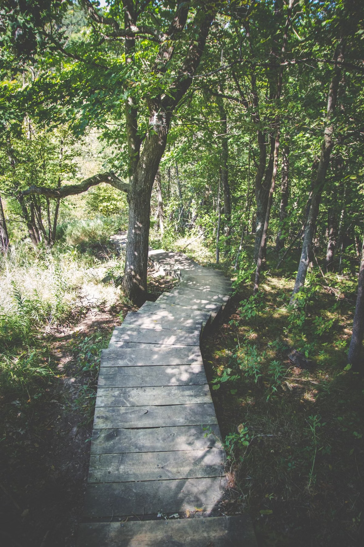
- Swamp Trail, .3 mi: through what remains of an Atlantic white cedar swamp, with a short boardwalk. No bikes or horses.
- West Side Trail, .7 mi: an easy walk with one short rocky section.
The Pond Walk
The Pond Walk is the carriage-road loop around Leach Pond and DCR's introductory hike. DCR's three documents measure it a little differently: its suggested-hikes sheet calls it 3.0 miles, the trail map says 2.9 miles of unpaved carriage road, and the 2017 management plan says about 2.7 miles. Call it about 3 miles. DCR's plan says 1.5 miles of it is a designated Healthy Heart Trail, and that although it's an easy walk, it isn't rated ADA-accessible. Turn-by-turn directions are on the hiking page.
Reading the Map's Legend
- Paved and unpaved roads: shown separately from the footpaths; motorized use is prohibited, and gates keep cars out.
- Hiking trails: footpaths, blazed with paint. Double blazes mark an intersection or a turn.
- Unpaved road / bridle trail in summer, skiing trail in winter: the old carriage and farm roads (see winter).
- Mountain bike trails: the single track north of the ponds, which DCR's plan says NEMBA volunteers maintain.
- Bay Circuit Trail: the long-distance trail between Newbury and Duxbury, which follows existing park trails, including parts of the Pond Walk.
- Closed gates: DCR says they are there to keep cars out; walkers, riders and cyclists can go past them.
Who Can Use Which Trail
Hikers, mountain bikers and horseback riders share Borderland's trails, with one exception: DCR bans bikes and horses on the Pond Edge, Swamp and Quiet Woods trails. DCR's trail-use guidelines ask hikers to let bikes and horses pass, cyclists to control their bikes, not skid, and announce themselves, and riders to keep their horses under control. Motor vehicles are prohibited. Stay on marked trails; DCR's plan counts more than a mile of unofficial paths that it doesn't maintain. Dogs are allowed on a leash (see dogs).
For riders, DCR's management plan says the single track north of the ponds is the easier riding and the carriage roads south of the ponds the harder, with little in between for intermediate riders. DCR's park page sends serious riders to the NEMBA Trail and Bob's Trail, and its suggested route starts north from the main lot on the West Side Trail toward the French, Northwest and NEMBA trails.
Landmarks on the Map
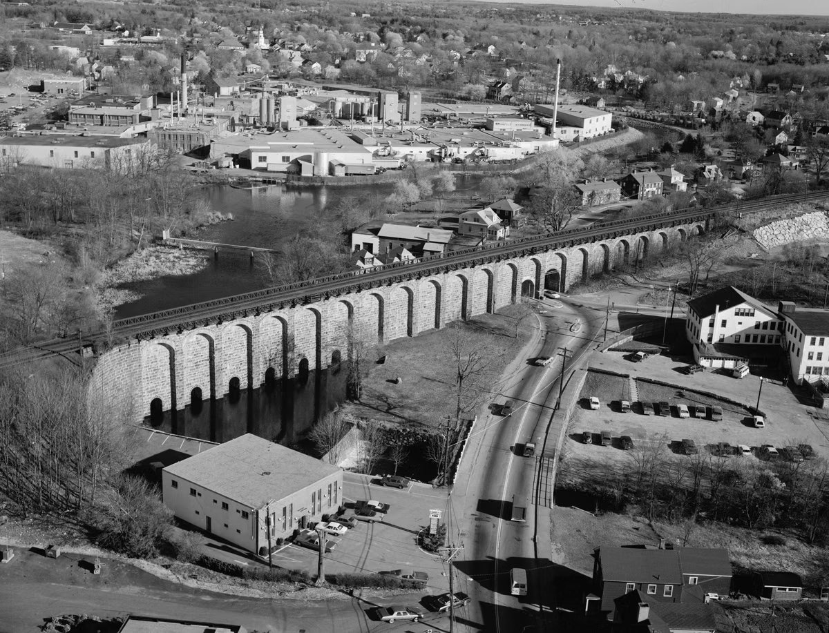
Along with the trails, DCR's map labels the places worth walking to: the Ames Mansion with its rock garden and old pool; the stone lodge on Leach Pond; the Smith farmhouse; the Ames Boulder on the Boulder Trail; Split Rock; Moyles Quarry on the Quarry Loop, which the Friends of Borderland say supplied the facing stone for the Canton Viaduct in 1835; and the Tisdale site, where only the foundations of a Revolutionary-era family's farm remain. Puds Pond and Upper Leach Pond sit north of Leach Pond, and the map's inset shows the Sharon, Easton, Stoughton and Mansfield town lines.
Before You Go
- Download the PDF to your phone; DCR warns that some trails are not well marked.
- Trails can be wet. DCR says appropriate footwear is a must.
- Bring water. There's a fountain at the visitor center, but DCR says drinking water usually isn't available on the trails.
- Watch the time. The park closes at 6 pm (4 pm in winter), and the lots are locked overnight. See hours.
- In hunting season, DCR's general hiking advice is to wear blaze orange, even though hunting isn't allowed in Borderland itself.
Trail Map FAQ
Where can I get a Borderland State Park trail map?
DCR publishes it as a free PDF on its Borderland page at mass.gov (the 2019 Trail Map).
How many miles of trails are at Borderland State Park?
DCR's park page says over 20 miles. DCR's 2017 management plan counted 12.77 miles of official trail, not counting the disc golf paths or 1.13 miles of unauthorized user-made trails.
Which trails at Borderland are closed to bikes?
The Pond Edge, Swamp and Quiet Woods trails. They are closed to horses too. Every other trail is open to mountain bikes.
What is the easiest trail at Borderland State Park?
The Pond Walk, a wide carriage road around Leach Pond that DCR rates easy at about 3 miles, or the 1.5-mile Shady Way to Lily Bay from the visitor center.
Does the Bay Circuit Trail go through Borderland?
Yes. DCR's plan says it runs 4.76 miles through the park on existing trails, including parts of the Pond Walk.